
Sources Around a Sachse Block
Public sources describe different parts of a Sachse block. Parcel maps and CAD cards identify land and recorded ownership. A deed explains a transfer for a particular legal parcel. Voter information is a regulated one-person record, rather than a public block roster. City permit and public-information routes can document address-keyed activity, and regional criss-cross books may provide an older subscriber clue. None of those records proves that every visible lot shares an owner or that an owner occupies the property.
| Source | What it shows about a block | Access |
|---|---|---|
| Sachse GIS | Parcel shape, city and county context, and map navigation | Public web app; live layer details need browser confirmation |
| Dallas CAD map | Parcel Identify, nearby accounts, measure, print, and map context | Public tools; owner detail follows the parcel or address |
| Collin GIS REST | Address, appraisal, boundary, election, flood, school, utility, and 911 layers | Public services catalog; check layer metadata first |
| County deed index | Ownership transfers for one legal parcel at a time | Search the applicable county clerk index |
| City permit or PIA route | Construction or code activity tied to a jobsite | SmartGov for current work, request route for older records |
The official record path stops at documented parcel and public-record facts. A renter, household member, utility customer, delivery customer, or protected voter is not established by an ordinary block search.
Center a Sachse Block in GIS
Put the subject address at the center of the map, zoom to parcel scale, select the subject parcel, then move one parcel at a time around it. If a viewer exposes a buffer, measure, or parcel-identify tool, note each adjacent parcel ID before leaving the map. Dallas CAD documents Parcel Identify and Measure. Collin map services can be queried by map layer. The City of Sachse viewer is useful for city limits, subdivisions, zoning, thoroughfares, flood context, and navigation, but the captured research did not confirm its current dynamic layer names or owner-link controls.
- Search the address and identify the subject parcel, county side, and visible boundary context.
- Pan or use parcel-identify controls to record each adjoining parcel ID or geographic ID.
- Open the applicable CAD card separately for every parcel instead of assuming a map label names the owner.
- Use the legal description and county branch for a deed follow-up when a transfer date matters.
The Collin County InteractiveMap REST catalog is shown below. It is a layer catalog, so its fields should be checked before a layer is used for a Sachse neighbor conclusion.
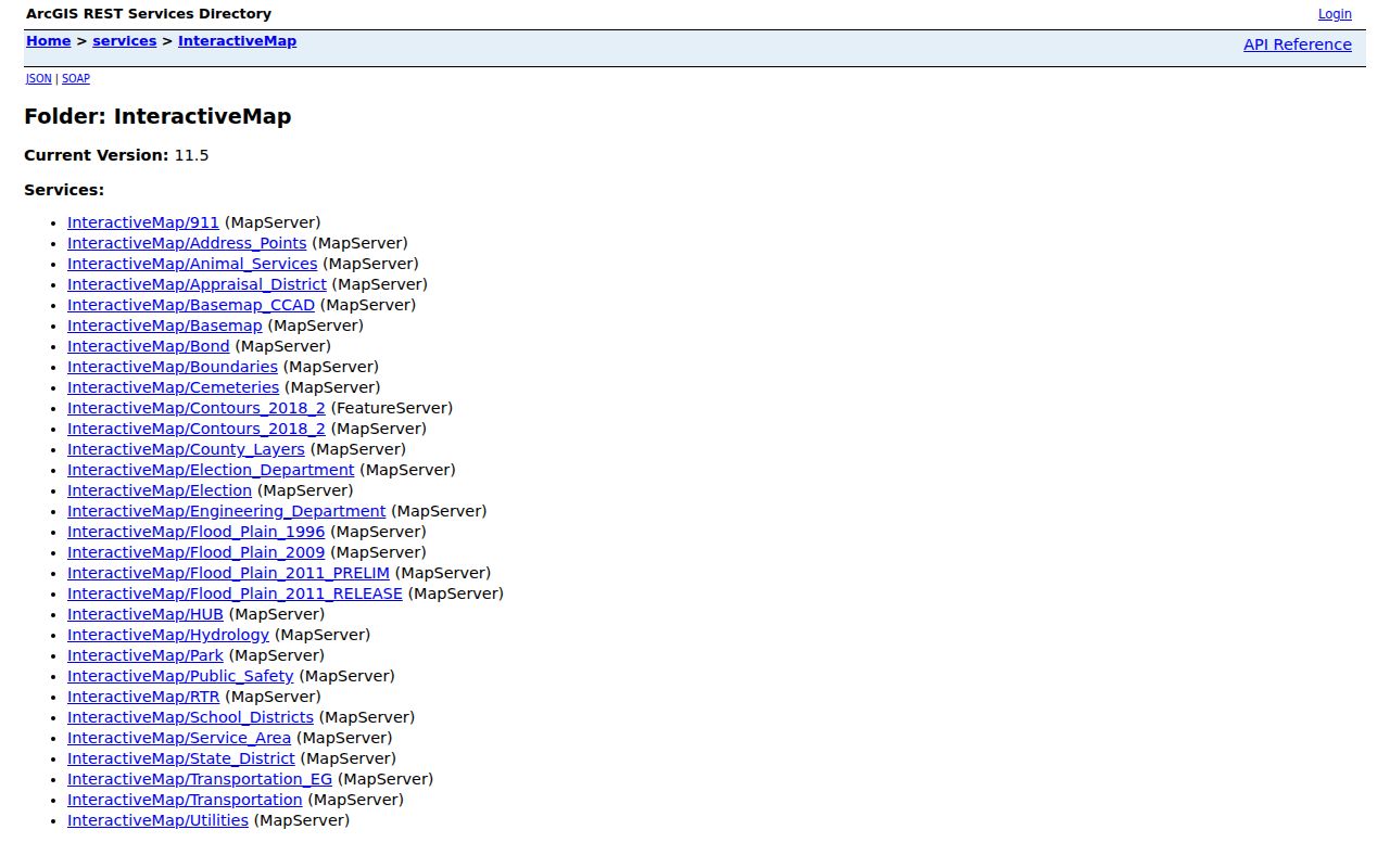
The catalog provides geographic context around a parcel without turning the map into a household roster.
Sachse CAD Parcel Cards
After mapping a block, pull each Dallas CAD or Collin CAD card separately. The card can show property or geographic ID, situs address, legal description, subdivision, recorded owner, mailing address, exemptions, values, improvements, and taxing entities. A CAD mailing address is correspondence for the tax account. It may belong to an owner, agent, lender, or another location. A homestead flag is evidence of an exemption claim, not proof of who stays at the property.
For Dallas address work, the portal supports Address Number, Direction, Street Name, Building, Suite, City, and an address range. Street Name requires at least two characters, omits the street type, and can accept a percent wildcard. Collin's advanced search can use owner name, street number, street name, property ID, subdivision, geographic ID, legal description, city, and tax year. The county card is current appraisal data, not a complete historical ownership index.
The Collin County GIS services view below is a useful bridge between a mapped parcel and the county layer environment.
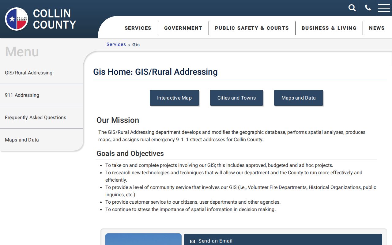
Confirm recorded ownership in the CAD card and deed index rather than treating a nearby map label as the final property record.
Sachse Block County Geography
The same Sachse city label can send adjoining-property research to different offices because the city straddles Dallas and Collin counties. Begin with the parcel's legal county, not its mailing city. On the Dallas side, use Dallas CAD and the Dallas County Clerk official-records search. On the Collin side, use Collin CAD and the Collin County Clerk land-record route. Collin's Historical Records mode covers 1843 through 1975, while the exact historical start of the Dallas public index was not stated.
This geography is more than a map detail. A ZIP label, city limit, school district, election layer, fire or 911 layer, tax district, and clerk jurisdiction can differ around Sachse. The city subdivision map names places such as Woodbridge, Sachse Farms, Quail Hollow, The Oaks, and Old Town, but a subdivision name is a geographic join for plats, GIS, newspapers, and deeds. It does not establish association governance or membership.
Note. Keep the parcel's county and legal description with every block note, because the Sachse name alone cannot select the records custodian.
Sachse Parcel Context Layers
Map layers can explain place without identifying a household. Collin County's REST catalog names Address_Points, Appraisal_District, Boundaries, Cemeteries, Election, Flood_Plain_1996, Flood_Plain_2009, Flood_Plain_2011, School_Districts, Utilities, Transportation, and 911 services. These layers help compare a parcel with county boundaries, flood context, school geography, election geography, utilities, and emergency-address systems.
Use the layers as context after the parcel is identified. They do not prove who lives next door, which school a child attends, or whether a person participates in a civic group. The research did not confirm a city dynamic layer that can be described as a public resident or owner layer, so CAD and the county deed index remain the ownership verification route.
Sachse Voter Record Limits
My Voter Portal is designed for one-person voter lookup with name, county, date of birth, and ZIP. It is not a button for listing every voter on a block. A regulated Texas voter-file request uses the Secretary of State form, a complete physical address, phone, email, notarized affidavit, and a $75 deposit. It can be filtered by status, statewide, county or precinct scope, dates, age ranges, Texas mailing address, and election criteria, but protected addresses and identifying data remain confidential.
| Official parcel and record route | Commercial neighbor-tool category |
|---|---|
| Shows the public parcel, appraisal, deed, or one-person voter fact from its stated custodian. | Can combine parcel, voter or marketing data, directories, and purchased data with unclear provenance. |
| Requires the user to keep county, date, legal description, and access limits in context. | Can retain stale merges, same-name errors, and mixed nearby people; it does not replace the official record. |
Texas Election Code restrictions also prohibit commercial advertising or promotional use of the voter list. The reviewed request form is dated 2016, so verify its current deposit and delivery details before relying on it. Registration status, a name match, or an old address should not be recast as a reconstructed block roster. A public no-match can result from normal changes or confidentiality protections, not necessarily a lack of local connection.
Sachse Civic Contacts
The city offers public community and safety-oriented contact paths, but the research found no official city registry, umbrella organization, public member directory, or verified contact directory for Sachse neighborhood associations or HOAs. Neighborhood names on a map are not proof that an association exists or that a person belongs to one. Use these city-facing programs for their public purpose, not as a way to infer private membership.
| Public Sachse resource | What is confirmed |
|---|---|
| Neighborhood Services | City community-services contact path, not a household or association roster. |
| Neighborhood E-Watch and Neighborhood Video Partnership | Public safety and participation resources, not a list of block participants. |
| Ring Partnership and Safe Trade Zone | City-linked safety resources, not membership verification. |
| Friends of Sachse Parks and Recreation, baseball, and softball | Public civic or recreation contacts, not a resident directory. |
For historic neighborhood context, the Sachse Public Library, UNT's Wylie/Sachse newspapers, and the Historical Society are better sources than a supposed current association roster. The Historical Society is an archive and museum, not a member directory.
Sachse Permit Context
A permit can help date visible work at an address without identifying a household. Sachse moved new permit work to SmartGov on July 8, 2025. The public portal exposes notices, parcel search, reports, and documents, while My Portal supports account-based activity. The captured research did not expose the live parcel-search fields or result columns, so exact interface details need browser confirmation. For older or complete material, use a narrowly described written Public Information Act request for existing records.
Sachse says a request must ask for documents rather than answers or research. JustFOIA, email, mail, in-person delivery, and fax are available routes. A permit applicant or contractor reference is evidence of activity at a jobsite, not proof that the named party owns or occupies the parcel. The system also distinguishes a contractor's business address from the project jobsite.
Sachse Property Alert
For a Dallas-side parcel, the Dallas County Property Fraud Alert offers a free alert signup and official response guidance for a suspected fraudulent conveyance. The alert does not prevent a filing, but it can provide early notice. A suspicious notice still needs comparison with the official county index and the CAD parcel record. The research did not locate a Collin-specific public signup page.
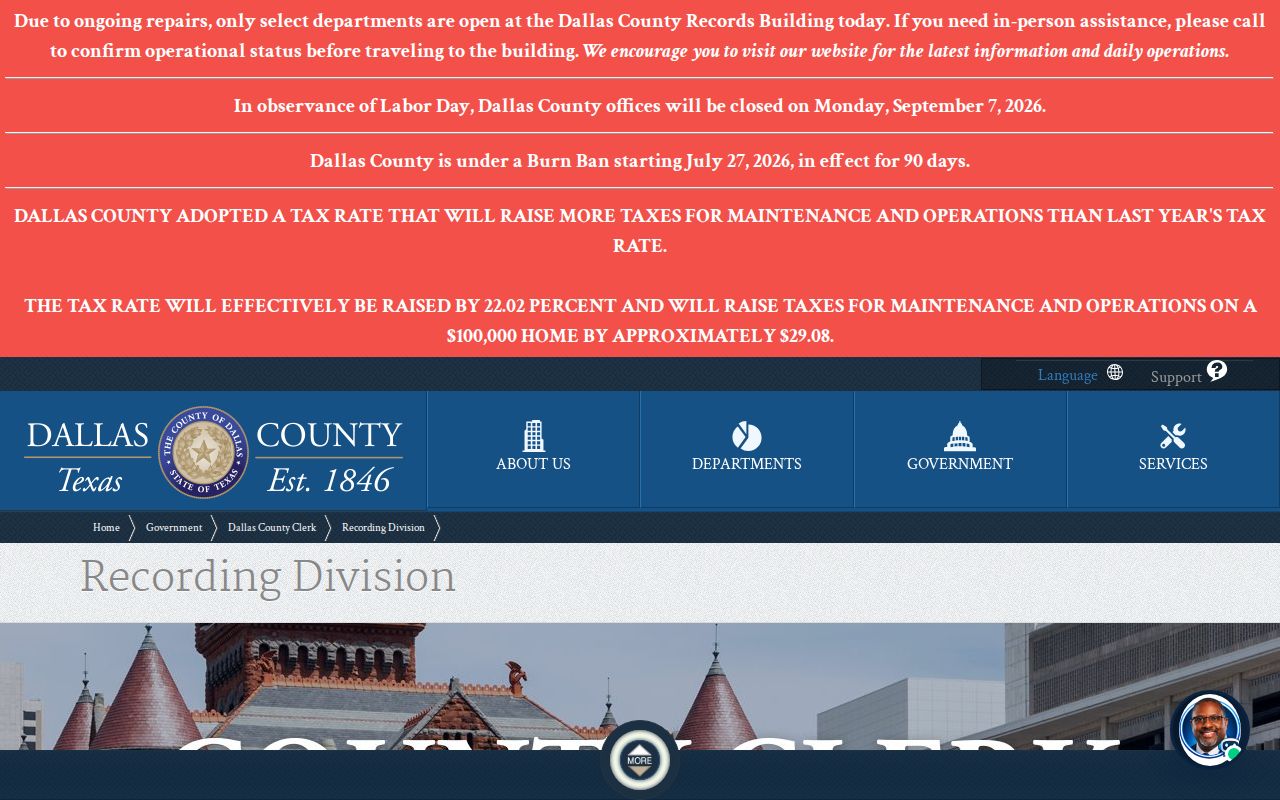
Use the county's official response path, and do not follow a mailed notice's QR code or pay a private monitor before checking the recorded instrument.
Sachse Block Privacy Limits
Texas privacy rules keep important block information out of ordinary searches. Qualifying voters may use protected or substitute addresses. The OAG Address Confidentiality Program provides a substitute address for eligible survivors and must not be reverse-engineered. Tax Code §25.025 supplies a qualifying property-owner route for appraisal-address confidentiality, and Property Code §11.008 can support redaction of specified data from online official-record instruments. DMV data is restricted by the federal Driver's Privacy Protection Act.
Records can show a parcel owner or a dated filing, but not every renter, household member, utility customer, delivery customer, protected voter, or ACP participant. If an official record is wrong, contact the responsible CAD, clerk, registrar, court, or agency with the record reference and supporting evidence. Public status never authorizes surveillance, repeated unwanted contact, intimidation, doxxing, or evasion of a protected address.
Lawful use. Use Sachse block records for personal, lawful property and community research, never to stalk, harass, intimidate, or target anyone.